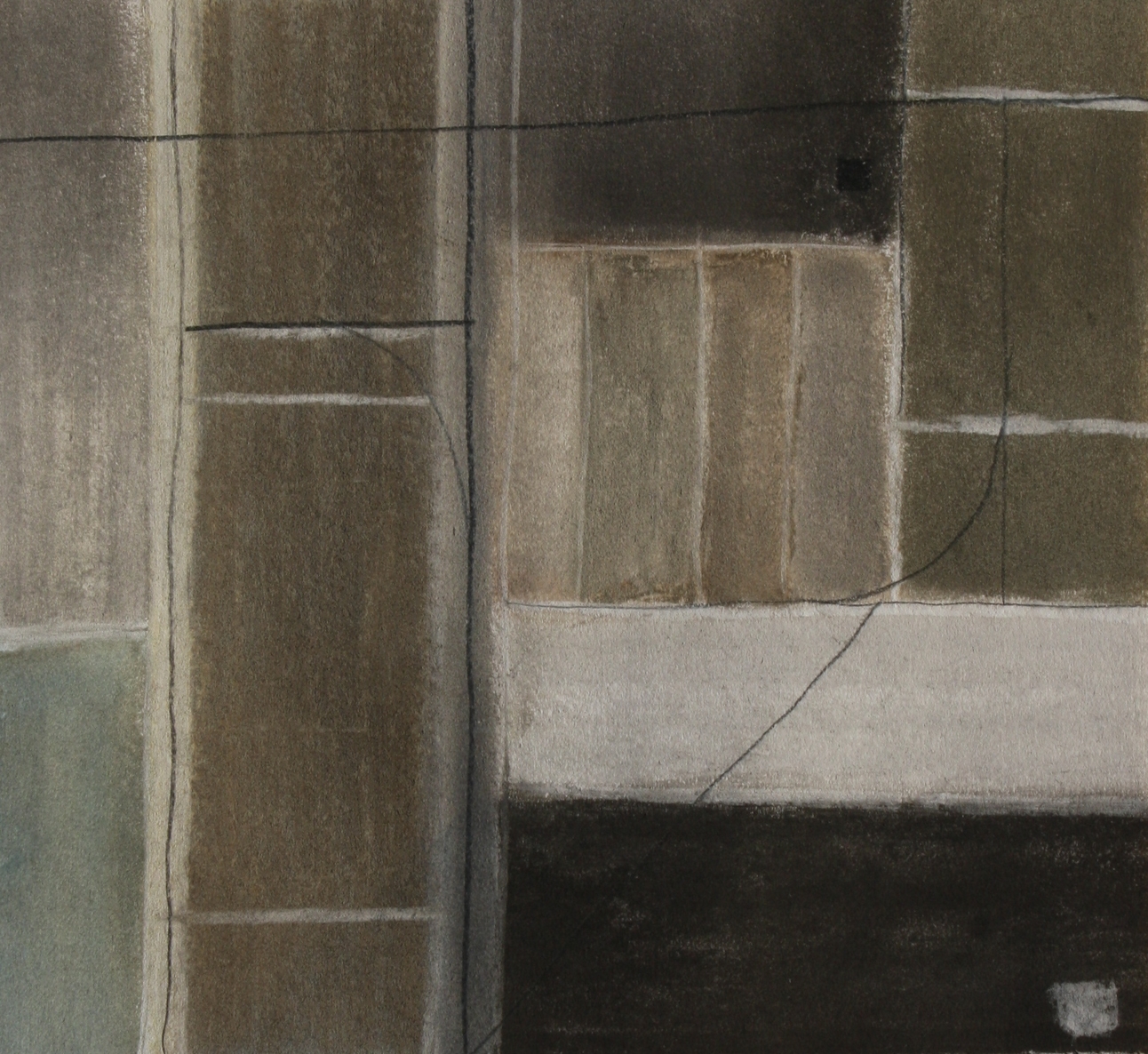
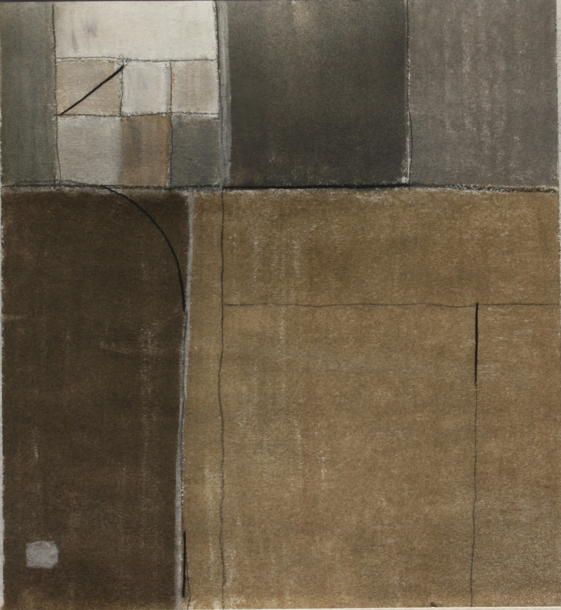
Connections in Isolation
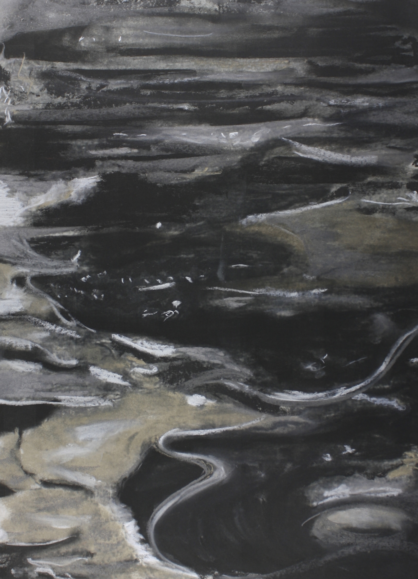
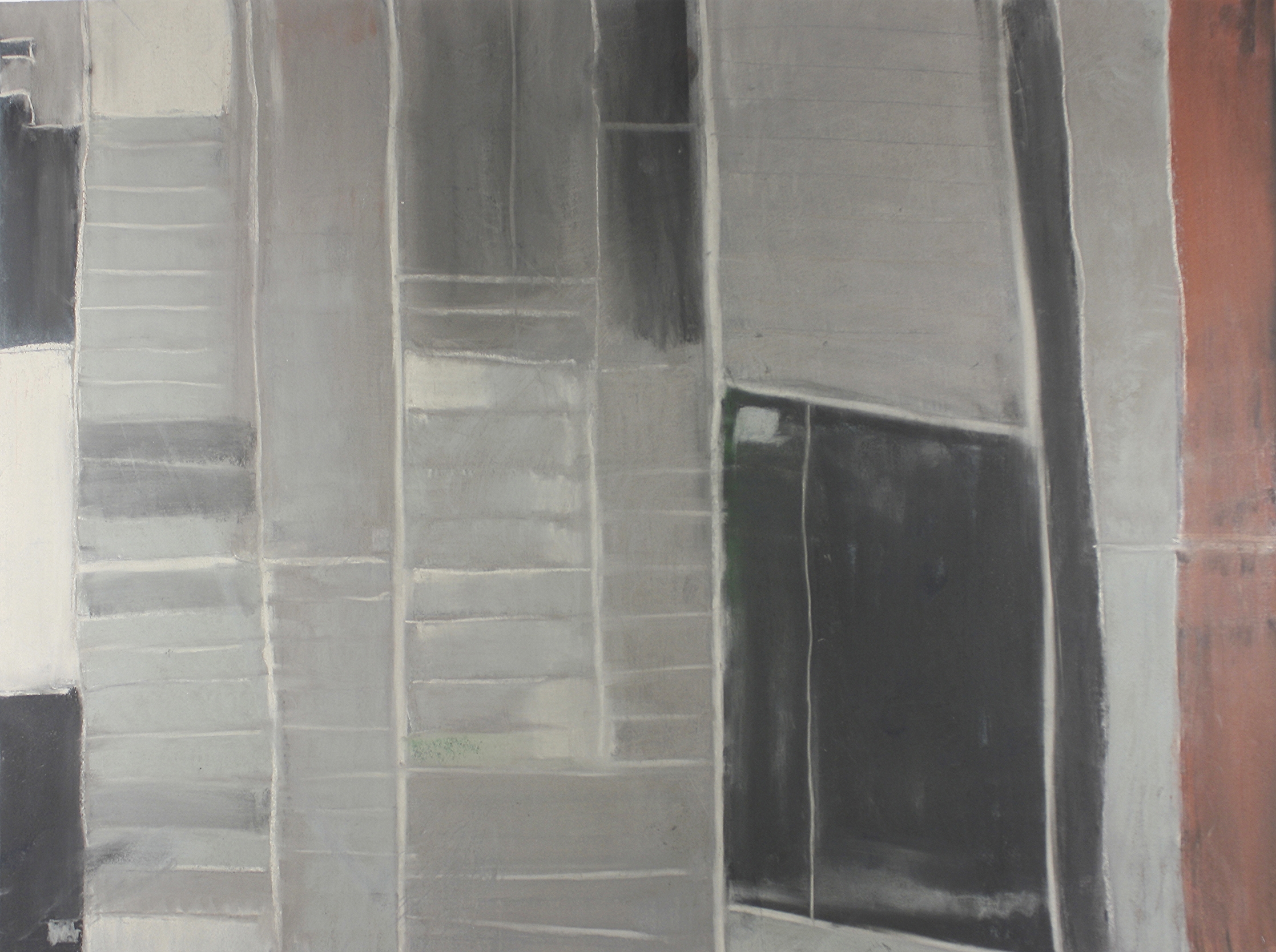
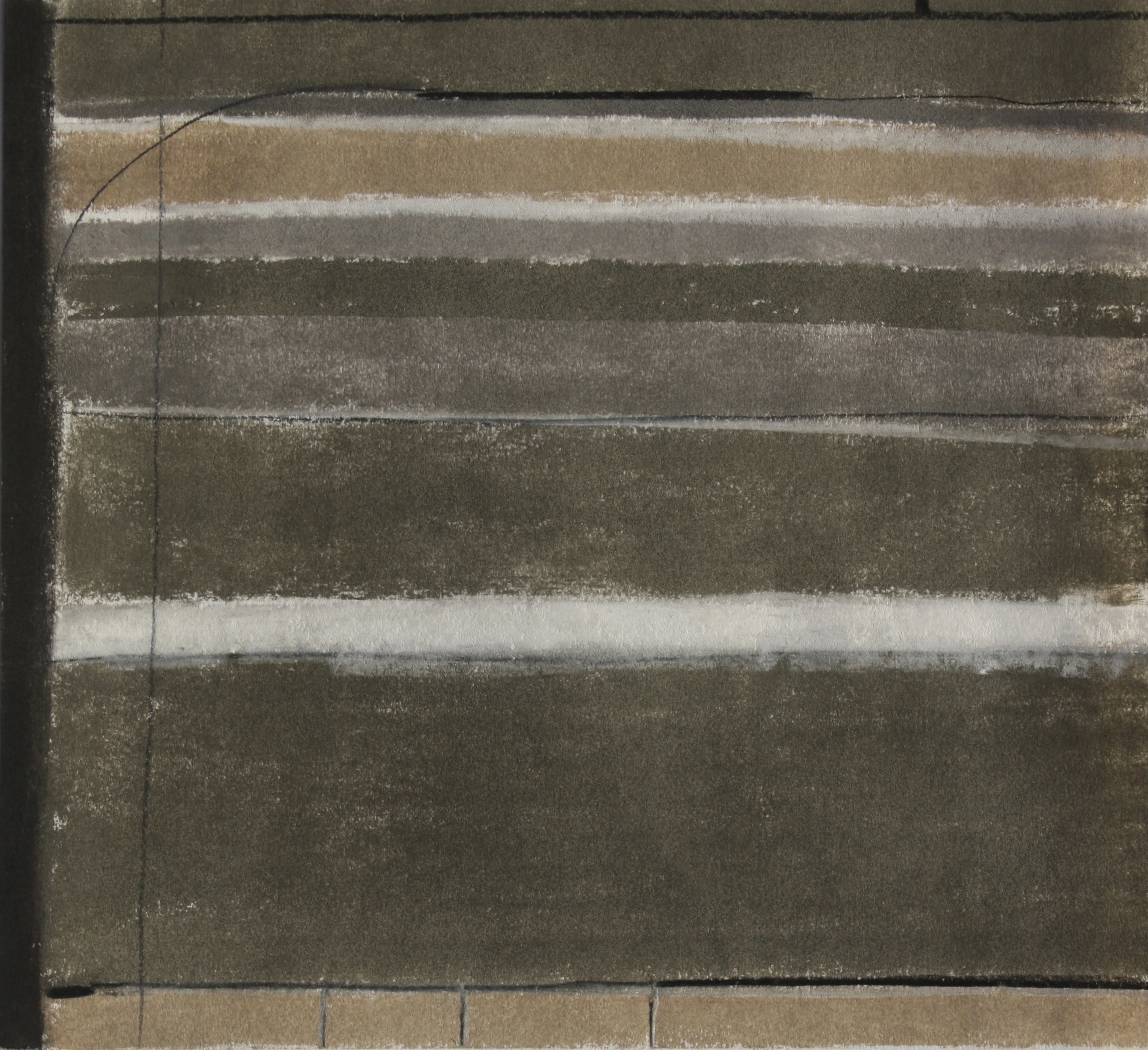
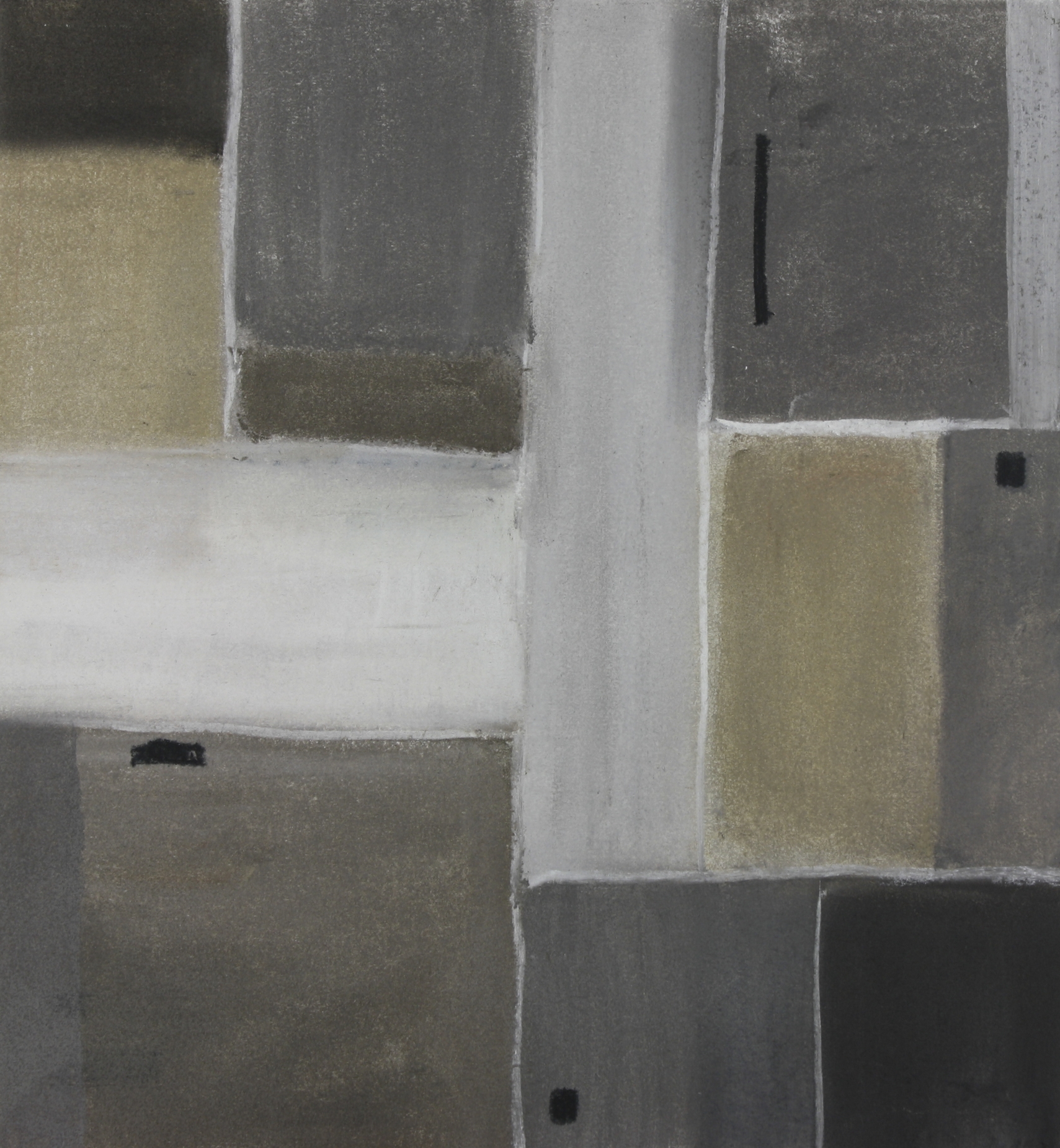
GIS systems are here used obsessively to scratch the surface of aerial views of the Middle East. Tracing where the lines might lead, and how borders do or don't affect the space, turned into a study of liminal spaces. I wondered why so many lines left a mark on the ground in such a strange way, perhaps farmers made shortcuts in the land and created a diagonal or a curve. Perhaps the Israeli government's strategies for occupation are visible through these maps.
The tones change as you move from one city to the next. Crop circles are cut in half as the border runs ruthlessly between Gaza and Egypt. I used the tones and lines in this series to abstract the essence of the part of the Earth’s surface that I was zoomed in on. Each part tells a different story, yet there is a trace of similarity from Northern Iraq to Northern Africa.